 Home at last. We drove a little over 3100 miles, hit seven states, and crossed eight mountain passes. Gas prices ran from a low of $2.07 in Oklahoma to a high of $3.19 in the mountains in Colorado. Our temps ran from 93 in Oklahoma to 30 degrees in the mountains. While most of the time in the mountains it was cool, the sun was bright and warm. The only bad weather we hit was on the way home. We fought the wind all the way back. I thought we would get away from the wind in Ark, but it was bad all the way to Little Rock. That's it for this blog.
Saturday, September 23, 2006
 Home at last. We drove a little over 3100 miles, hit seven states, and crossed eight mountain passes. Gas prices ran from a low of $2.07 in Oklahoma to a high of $3.19 in the mountains in Colorado. Our temps ran from 93 in Oklahoma to 30 degrees in the mountains. While most of the time in the mountains it was cool, the sun was bright and warm. The only bad weather we hit was on the way home. We fought the wind all the way back. I thought we would get away from the wind in Ark, but it was bad all the way to Little Rock. That's it for this blog.

Pulled into Pueblo to get gas and saw this cool little Subaru Outback. Had a full roll cage, snorkel air breather, and 33 inch tires. This is the last shot for the day. We ran into very bad weather between here and Lamar. Hard rain and wind gusting to 50 mph. Temps were only mid 40's. WE were wet, cold and exhausted, it was all we could do to hang on. We laid up at McD's in Lamar for about an hour and a half. We finally decided we needed to go south to get out of the front. We were able to get out of the rain, and it was a little warmer, but we fought the wind all the way to Amarillo. We had one gust that ripped my face shield off my helment. Weather was better by the time we hit Amarillo.
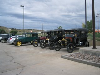 This is at the Holiday Inn Express in Canon City. There were about six or seven of these old cars in the parking lot. I asked one of the old guys driving them how fast they would go, his response was "faster than the average farm tractor". They were driving across Colorado into eastern Utah. This was an annual event for them. In total they have crossed 19 Colorado mountain passes.
Wednesday, September 20, 2006
We pulled into Canon City about 4:00 pm, got a room at the Holiday Inn Express. Cleaned up and walked across the parking lot to Chilis an ate dinner. Rain and snow in the forecast for tomorrow. Hopefully will will miss most of the bad weather. Plan is to head to Dodge City Kansas, and then to Tulsa and home.
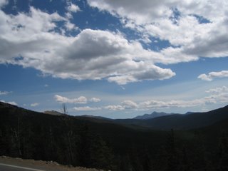
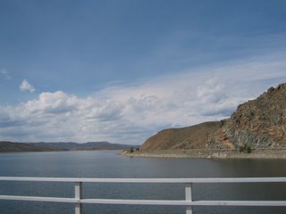
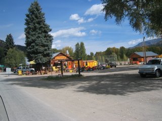
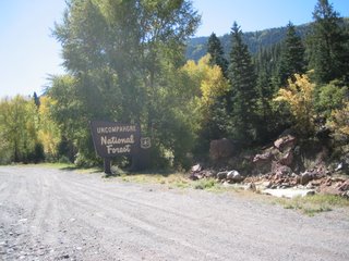
Sept20th - Ok, we had a small problem with some of the pictures of our ride today. I deleted them by mistake. We spent the night at the Econo Lodge in Pagosa Springs. The temps were in the mid 40's when we left, headed to South Fork to ride the Silver Thread Byway. We crossed Wolf Creek Pass (10,850 elevation)on the way to South Fork. The Silver Thread Byway starts at South Fork and goes through Creede and then to Lake City. We lost the pictures from Pagosa to right after Creede. From Lake City our plans are to go on to Gunnison, and then Canon City. The weather forecast is for 8" to 10" of snow in the upper elevations and 4" to 6" in the lower areas. Canon City will get us past all the mountain passes and on the road to home.


